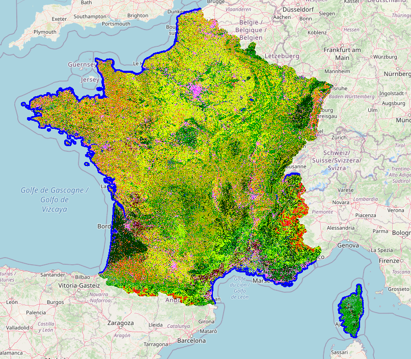
Land cover mapping
This is the classification module for land cover mapping.
Getting started: Tutorial Going further: Land cover mapping parameters Using auto-context classification How to use custom external features?
Spectral Indices Maps
This iota2 module produces features maps.
According to user specification, features are computed using reflectance data and the iota2 multi-tiles scheduler.
This mode use user provided python code to produce various kind of indices.
Getting started: with the tutorial Going further: Features map configuration parameters How to use custom external features?
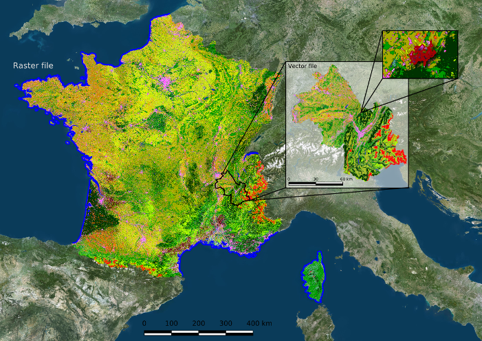
Large scale vectorization
This iota2 module produces a vectorized land cover map.
Zonal Statistics are computed and added to geometry in the produced map.
Getting started: with the tutorial Going further: Vectorization configuration parameters